

Hi all, I've just noticed on the most recent Cooloola Conditions Report that Cooloola Way is now open, has anyone done this trip recently?
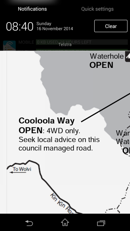


Hi all, I've just noticed on the most recent Cooloola Conditions Report that Cooloola Way is now open, has anyone done this trip recently?

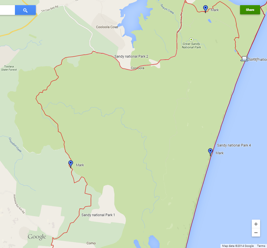
this is the route I had taken in July this year, didnt see any road closed sign.
2012 GU Patrol Simpson Edition. Auto. UHF, Bull Bar, 2" lift with Koni shocks, dobinson coils. 3" stainless Steel Exhaust.
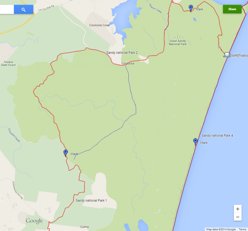
Thanks for that, I tried to see what roads you took using whereis.com, I've drawn in a rough "cooloola way" in blue, does that look right?
Not sure if its open last time I went down that road there were washouts tthat would swallow a car whole. Ill try to make a mud map of an alternate road ive found through the pine forest and has a few creek crossings if you like.
Let us know if its open when you go
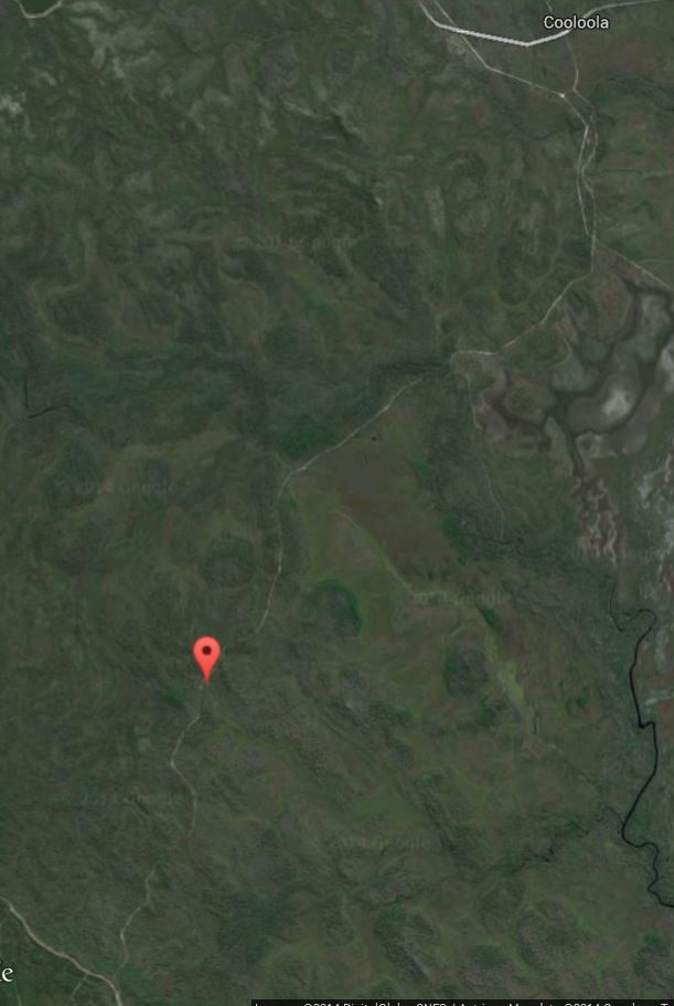
yeah looks about right.. here it is on the google earth.. U can see the track is there.Originally Posted by 92GQ

2012 GU Patrol Simpson Edition. Auto. UHF, Bull Bar, 2" lift with Koni shocks, dobinson coils. 3" stainless Steel Exhaust.
Sounds like fun,
Might have to con a mate to go through the mud holes first
i went along it on my dirt bike its like a highway now very well formed road no chance of water now as its been graveld and raised no fun for 4x4
Red : tracks I followed
Green: cooloola way
Yellow: rainbow beach rd
Orange: tincan bay rd
You turn off on the red track between the pine forest and the national park and there is a big fire break between them but this can't be seen from the main road. There's no mud... That I found, it's mostly rocky and I can't remember how many creeks there were but there were a few but I wouldn't expect water unless it's rained in the last week. There is sections of mud further north in the pine forest but it's mostly sandy so well drained.
This way would be more interesting than Cooloola way if it is open unless you like bitumen.
We turned left off the fire break but you can follow that all the way also.
Last edited by megatexture; 17th November 2014 at 07:37 PM.
It's been like that for a long time but sections had washed out and it's been closed for a while, when did you go on it ?
 Posting Permissions


 Reply With Quote