


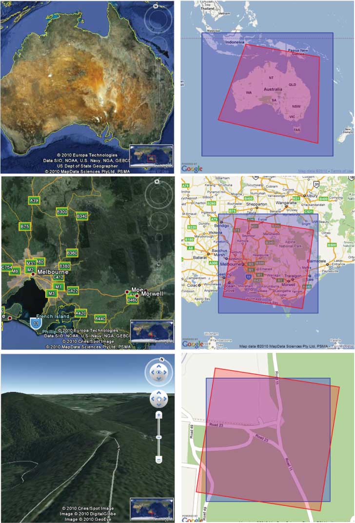
The team at Google have released new technology using both Google Earth 3D viewing combined with 2D Google Street Mapping.
This combination has made life a lot easier for mapping and viewing both 2D roads with 3D satellite images in the same screen working simultaneously.
Stay tuned to this new category as Google are about to bring out some great technology in coming weeks.
Below is the screen shot of how it all works.
For members only please see the attachment below the images for log in details of the latest release of Google mapping technology.
More to come soon!

 Reply With Quote


