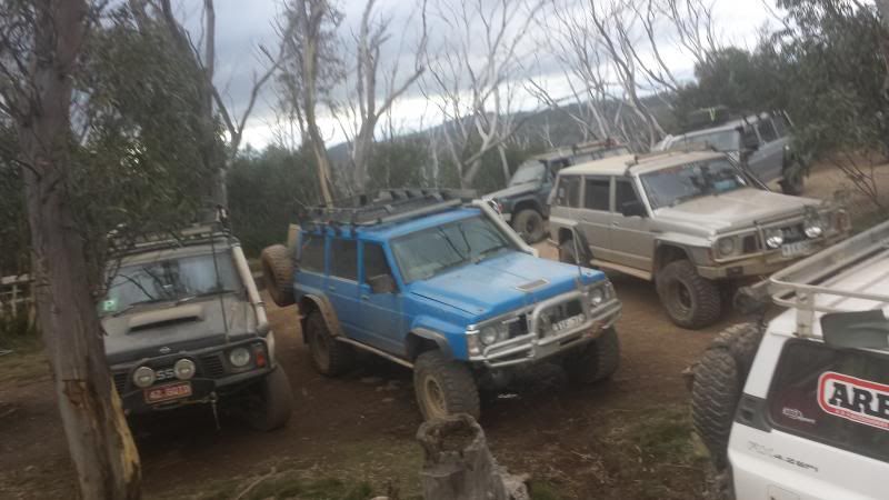
Guys, I thought I'd begin a new thread for everyone to post their photos and videos and perhaps keep the banter to the other thread on this trip
Thanks to everyone who came this weekend. We had some old faces, some new faces and some rough heads (the morning after) LOL. A top trip!
Could moderators please copy the existing posts (from the other thread) with photos to this thread.
I will post up some pics of my own shortly.
A quick track listing for those interested (I have posted a couple of images of the GPS tracks below)
25/04: around 140km travel approx half that in low range
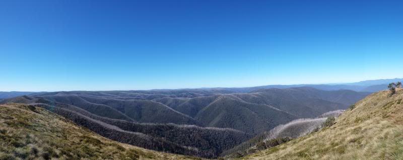
1. Dargo High Plains Rd (From camp at Collins flat)
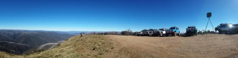
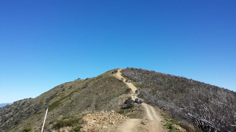
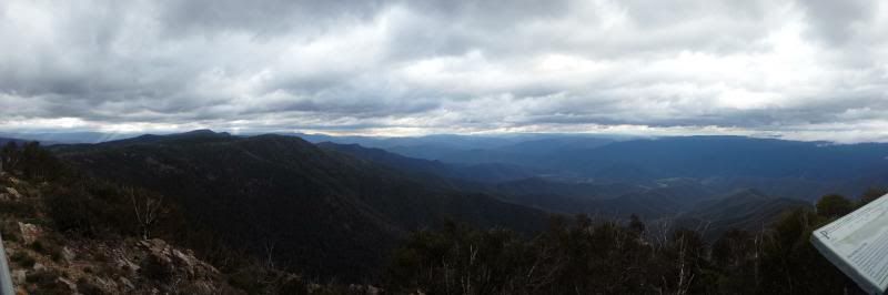
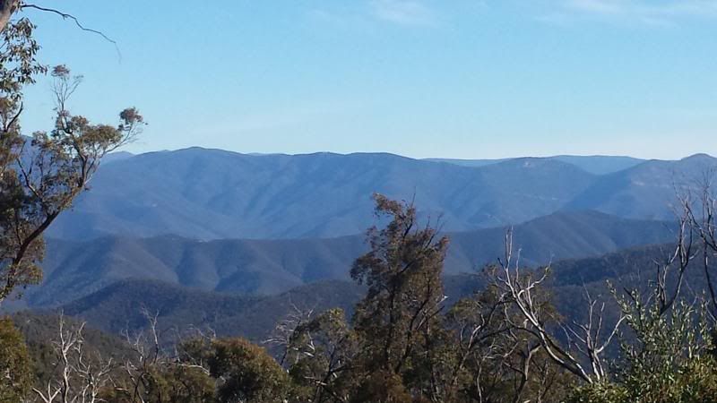
2. Blue Rag Range track (to trig point)
3. Basalt Knob Track to Talbotville ( including the very steep descent down South Basalt Knob)
4. Crooked River Track to Bulltown Spur (24 river crossings)
5. Steep climb up Bulltown Spur track to McMillans Rd then back to camp
ImageUploadedByMotorculture1398599859.204213.jpg
26/04: around 120km travel, about 2/3 in low range
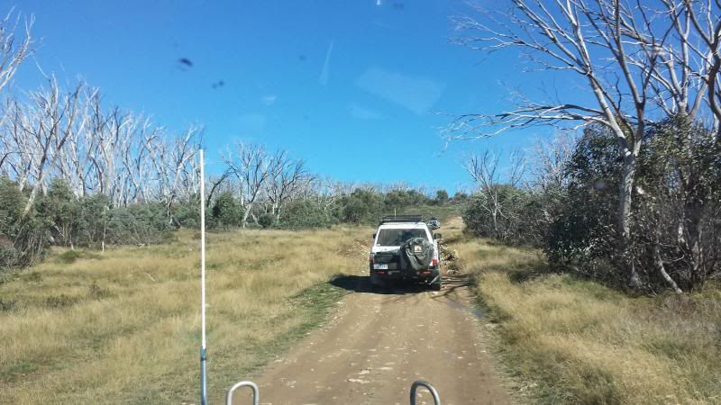
1. Crooked River Rd from Dargo to Billy Goats Bluff Track
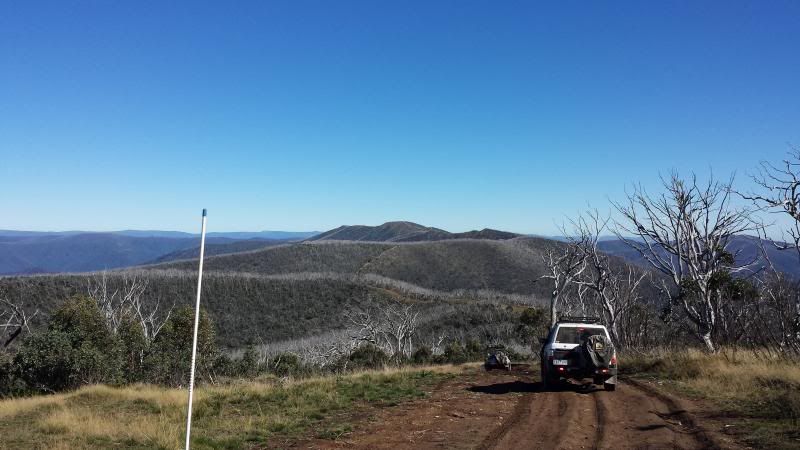
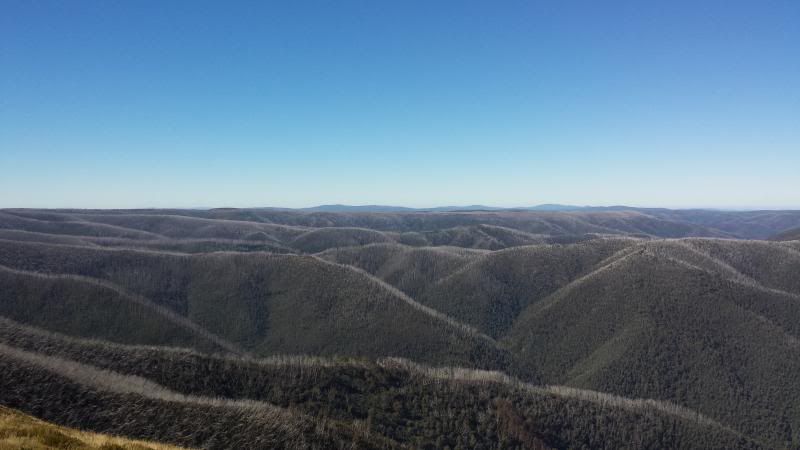
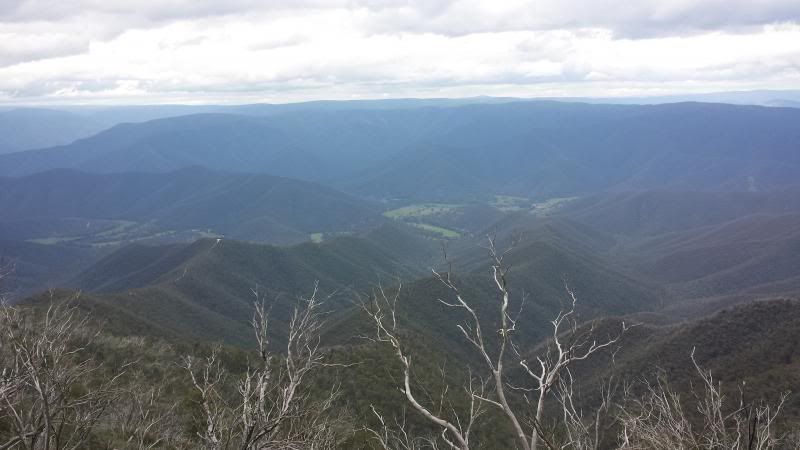
2. Billy Goats Bluff track to the Pinnacles (very steep and rocky climb 1200m up in just 7km)
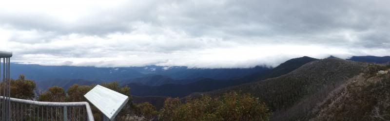
3. Castle Hill Track from Pinnacles (ledges, steep, greasy in sections, driving in the cloud)
4. Junction Spur Track (more of the above)
5. Castleburn Track
6. Scrubby Creek Track (long steep climbs and descents)
7. Dargo Hotel for dinner!
ImageUploadedByMotorculture1398599874.453153.jpg


 Reply With Quote